


By John Lee.
A new study has provided a comprehensive Land Use and Land Cover (LULC) classification for the Kurdistan Region of Iraq based on remote sensing data.
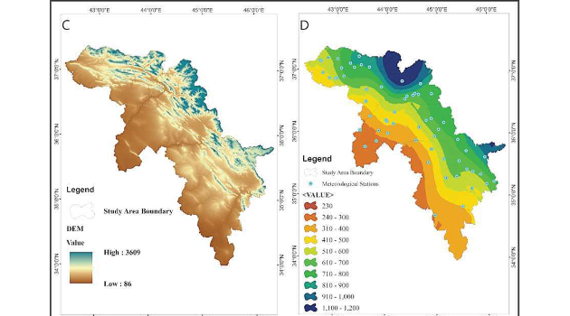
The study area covered a total area of 46465.1 km2.
The results of the study show that the dominant LULC classes in Kurdistan Region are:
- grassland (13354,%28.7 km2);
- arable land (10 years) (11283,%24.3 km2); and,
- open forests and shrubland (7483,%16.1 km2).
The other significant LULC classes in the region include:
- irrigated land (3425,%7.4 km2);
- dense forest (,%6.8 3180 km2); and,
- uncultivated land (2811,%6 km2).
Urban areas occupy only %1.9 (876 km2) of the total area, and water bodies and wetlands constitute %0.8 (389 km2) and %0.01 (4.1 km2) of the region, respectively.
According to the authors:
"The study findings have important implications for land management and conservation efforts in the region. The dominant land cover types, such as grasslands and arable land, are crucial for agriculture and livestock grazing, and their sustainable management is essential for the region's food security. The open forests and shrublands, which are also prominent, are important for biodiversity conservation and ecological services such as carbon sequestration in Kurdistan Region and Iraq. The identification of areas of dense forest and water bodies is also crucial for conservation planning and management.
"In conclusion, this study provides a detailed LULC classification for Kurdistan Region, which can be used as a basis for land management and conservation planning. The study findings highlight the importance of sustainable management of grasslands and arable land for food security and the conservation of open forests and shrublands for biodiversity and ecological services."
Click here to download the full report (English).
Click here to download the full report (Arabic).
Click here to download the full report (Kurdish).
To browse our comprehensive library of reports on Iraq, click here.
(Source: UN)
Comments are closed.